Opérations


Accessibilité EPS18
Aleafennat
Chainecommandement
comptage_enjeux
crimson
Dfci mayotte
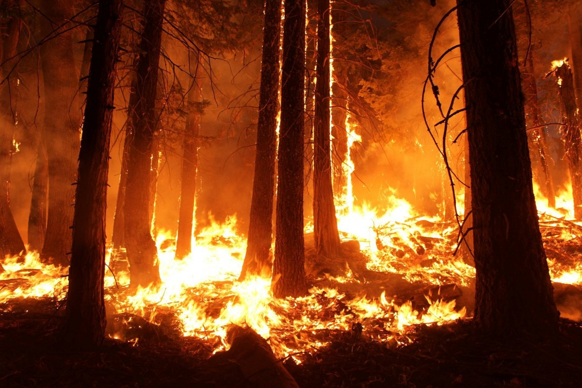
Feu Chastreix
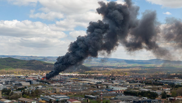
Feux de cultures
Grands rassemblements

Indicateurs Feux de Végétaux

Inondation Plaine
PCS et correspondants incendie

Partage donnéees sécheresse
pqp
Propag

Recherche
Restriction de circulation
Rupture sme
Suivi Sécheresse
Seisme

Vsav tsu

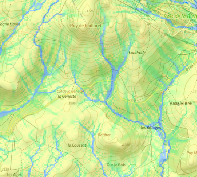
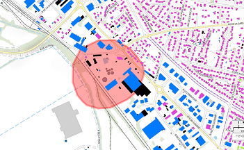
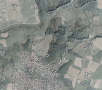
Fond de carte
- Titre
- lidar_vegetation
- Projection
- EPSG:2154
- Emprise
- 694460.77500000002328306, 6516620.44620000012218952, 702492.22499999997671694, 6521221.55379999987781048